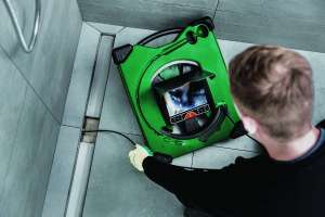
RIDGIDtrax, a locating app from RIDGID, brings maps of a work site’s underground utilities to a user’s mobile phone or tablet. Using integrated Bluetooth communications, the SR-24 Line Locator pairs with the RIDGIDtrax app to display GPS position and depth of the target utilities. If there are multiple types of utilities, such as water, gas and electric, users are able to identify and display them all within the same map. A finished map can be saved and viewed within the app, or exported to a KMZ file to be used with Google Earth. It is designed for use on the iPhone, iPad or Android, and provides basic utility mapping for mobile devices. 800/769-7743; www.ridgid.com.