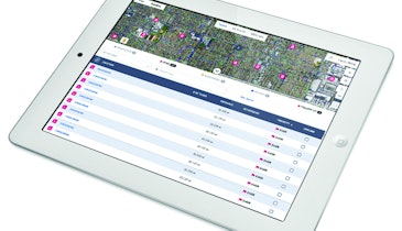
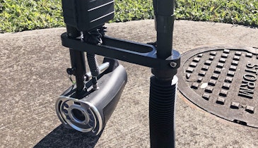
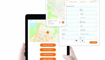
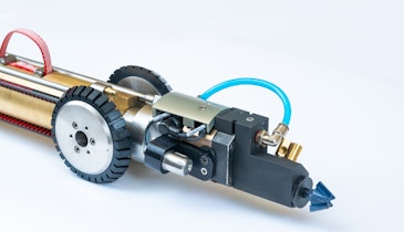
The Wireless GPS Mapping Stick from CUES works with Granite XP Asset Inspection & Decision Support Software, in conjunction with the Esri Module, to provide locating and positioning solutions. The unit provides the ability to display and record sewer (manhole and lateral assets), storm, fiber and gas pipeline coordinates from a GPS receiver, and transfer this information seamlessly to Granite XP to map the location of these assets. The kit includes a Trimble Pro 6T receiver for a complete turnkey solution. 800/327-7791; www.cuesinc.com.
GPS - CUES Wireless GPS Mapping Stick
Related Stories
Discussion
Comments on this site are submitted by users and are not endorsed by nor do they reflect the views or opinions of COLE Publishing, Inc. Comments are moderated before being posted.
