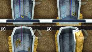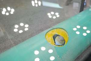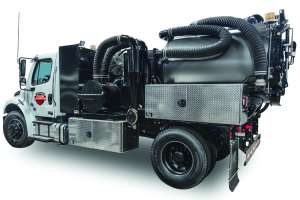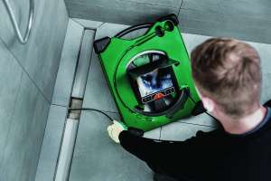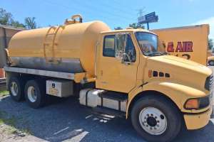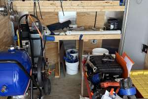
Every day, wastewater pros around the world utilize specialized equipment and software to keep our communities safe and clean. Collecting and analyzing data to plan maintenance, improve performance and achieve compliance is essential to this task. Video from crawlers and other visual assessment tools, in addition to laser profiling and sonar data, can provide a complete picture of underground infrastructure.
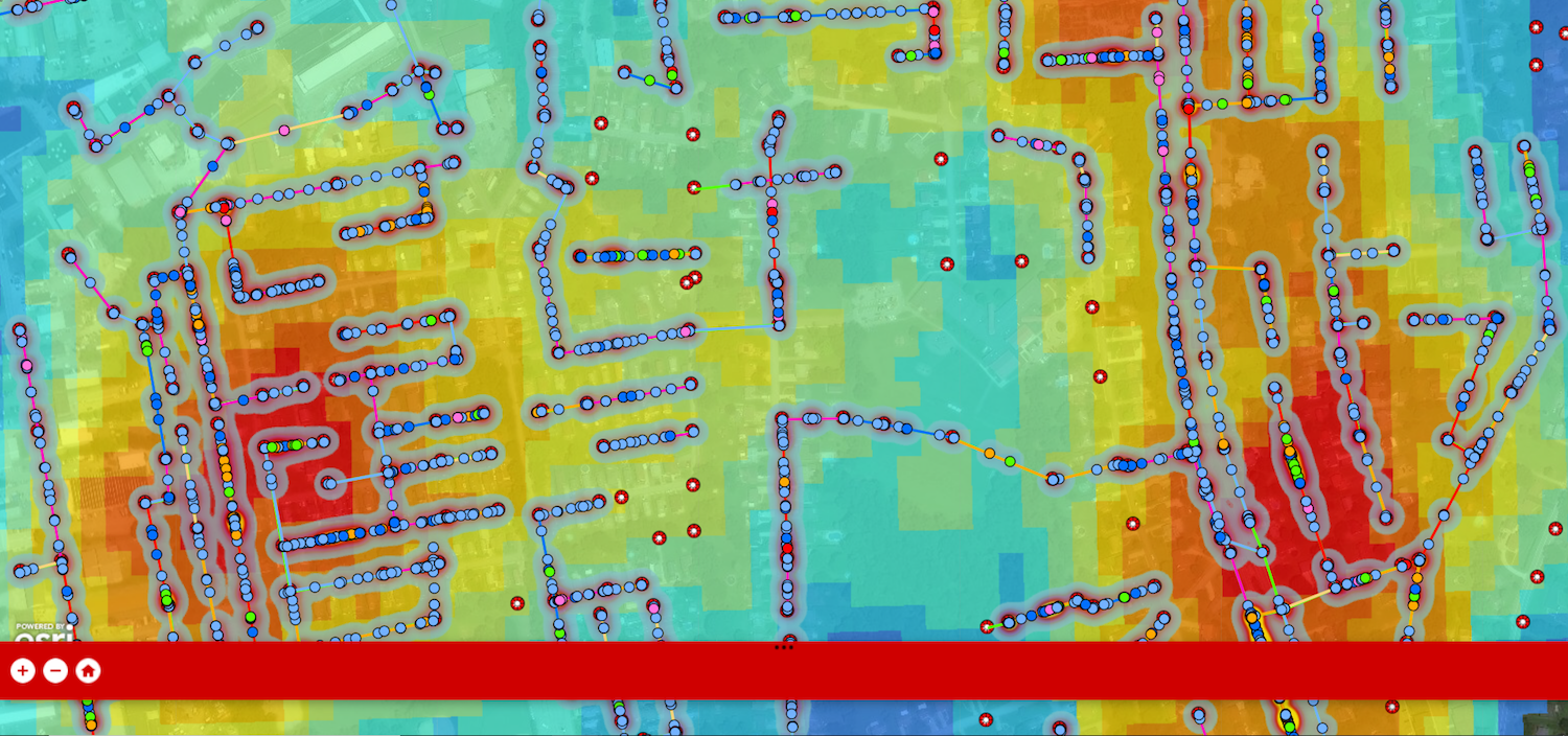
However, understanding and applying this data requires more than just quality hardware. Sewer inspection software is necessary to organize footage and scans, identify operational pipes and flag those in need of repair, and display trends on an electronic map. Using GIS and other mapping tools, system operators can build color-coded visualizations and create heat maps. They can also review data at the pipe level, zoom in on a specific area, or even construct a thermocluster of the entire city to prioritize repairs.
Cloud-based options streamline data analysis and digital workflows
Web-based sewer inspection software offers up these same capabilities, while making it even faster and easier to collect, distribute and analyze data. While desktop-based inspection software may depend on disks, emails, thumb drives or CD-ROM transfer data, cloud-based inspection software syncs information wirelessly. It allows users to automatically and instantly share data, maps and videos online while maintaining control over who has access to inspection data and protecting it with built-in redundancy — all of which facilitate digital workflows.
Within the cloud, users can assign inspections and prepopulate header data, validate data entry, speed classification for any observation with intuitive lookup tools, and transfer completed inspections automatically for secure, teamwide access in real time.
“Mining for gold”
The data collection and analysis process associated with sewer inspections is a lot like mining for gold, says Mike Russin, who brings nearly two decades of industry experience to his role as general manager at WinCan, a leading sewer inspection software. WinCan was the first company in the U.S. to provide sewer inspection capabilities online, and it continues to add new features based on industry trends and feedback from customers (it has an installed base of more than 8,500) and partners (which include Cityworks, CentralSquare, Cartegraph, Esri, IJ Robotics and more).
“The equipment — that’s the gold mining equipment, and you want to get gold out of the ground,” Russin says. “The gold is the data.”
Russin shared where he sees the industry going and the challenges municipalities and utility contractors face today.
“Our customers’ biggest pain point right now is the amount of data they have,” Russin says. “They are choking on data. Sewer inspection software lets us take all this data, get it into the cloud, then apply technology — specifically AI — to it to help them analyze it more quickly.
“And the quicker we can do all of that, the faster municipalities can make decisions using the data. Based on the severity of the defects we see in clusters, we can say, ‘Here are the hotspots.’ If you have a million dollars for repairs, that’s not a lot of money — you have to go find your home runs right away.”
Benefits of integrating with outside tools
Choosing inspection software that offers the ability to integrate with asset management and GIS tools enables you to work more efficiently. WinCan can integrate with any asset management system or GIS tool; out-of-the-box integrations include Cityworks, Lucity, Categraph, Innovyze, and Esri’s ArcGIS and newer ArcPro, among others.
The beauty of an integration, Russin says, is that it streamlines work and ensures data integrity. It also simplifies the job of the operator — rather than inputting data or confirming manhole numbers, operators can focus on what they’re good at: running an inspection.
Ready to see what WinCan can do for your wastewater system? Schedule a free demo today.