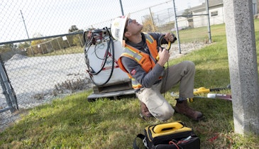
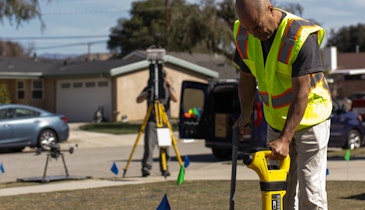
Geophysical Survey Systems (GSSI) has updated its UtilityScan ground-penetrating radar system to include 3-D data collection and playback mode for the UtilityScan DF model that provides X-ray-like imagery of the ground in addition to the standard two-dimensional mode. It can be used to locate metallic and nonmetallic objects and features a dual-frequency antenna and touch-screen monitor to allow users to simultaneously view shallow and deep targets. New software features allow the user to input colored markers while using a GPS unit to aid in subsurface target classification. 800/524-3011; www.geophysical.com.
GSSI ground-penetrating radar system
Related Stories
Discussion
Comments on this site are submitted by users and are not endorsed by nor do they reflect the views or opinions of COLE Publishing, Inc. Comments are moderated before being posted.


